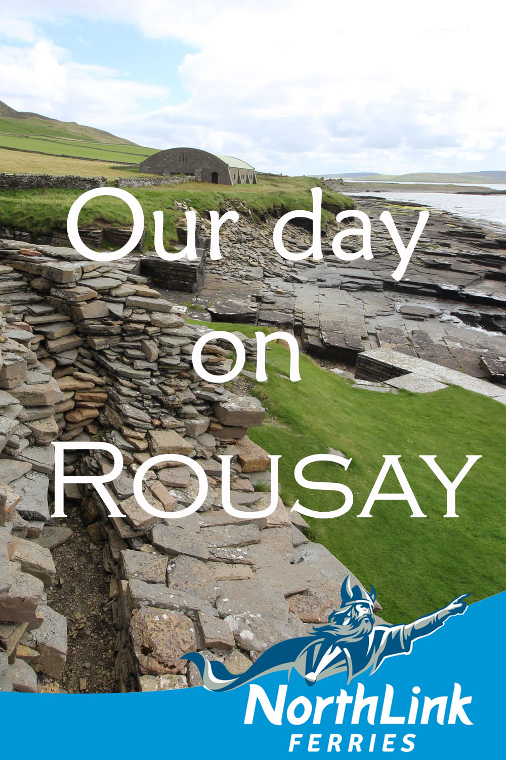
Our day on Rousay
We spent a fantastic day in the Orkney island of Rousay in the late summer. Rousay is often described as the Egypt of the North because there are over 140 archaeological sites to be found within its 19 square miles!
Rousay is often described as the Egypt of the North because there are over 140 archaeological sites to be found within its 19 square miles! It is a round island with steep hills in the centre; a road leads around the rocky coast of the island.
It is a round island with steep hills in the centre; a road leads around the rocky coast of the island. This 14 mile long circular trail makes Rousay ideal for cyclists, but we chose to take the car.
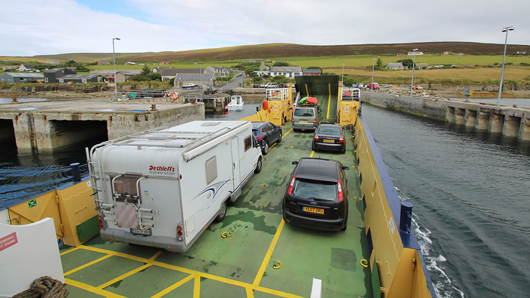
We booked and travelled with Orkney Ferries, setting sail from Tingwall. It’s a short journey (only 2 miles) and we enjoyed the view of Rousay and its neighbouring islands; Egilsay, Wyre and Eynhallow from the top deck of the ship. When we reached Rousay the ship’s ramp curled down to meet the pier and we drove off – ready to explore! Though I had been to Rousay before, Vicky, Milly and Robbie had never visited. The day started off a little cloudy but we were optimistic that the weather would improve.
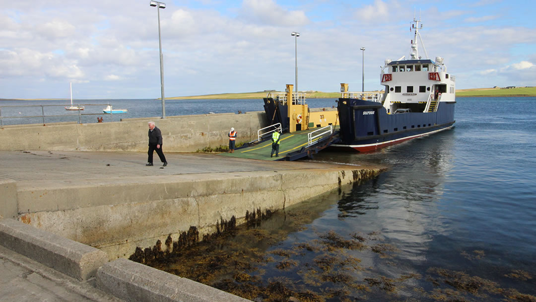
Close to the pier, the Rousay Heritage Centre which tells the rich story of Rousay. It’s the perfect place to visit at the end of the day when you’ve soaked in the sites and are waiting for your ferry back to the mainland. A bit further up from the pier, set in trees opposite a row of houses, there’s the Crafthub; which is filled with art and crafts made by talented makers from Rousay, Egilsay and Wyre.
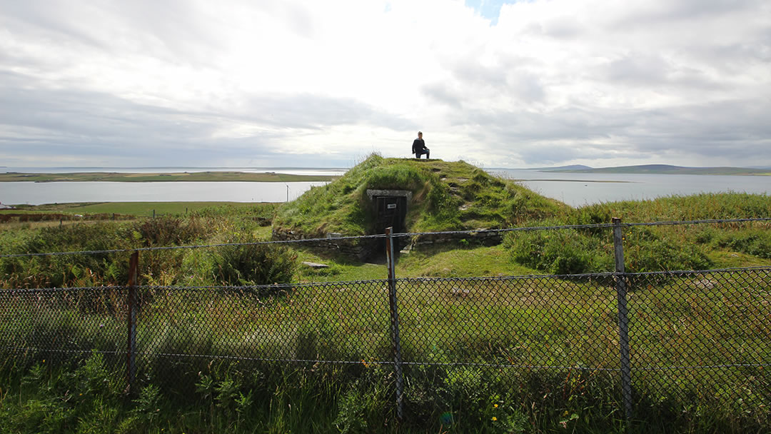
As we began we chose to drive clockwise around the island, and the first stop wasn’t far from the ferry at all. It was Taversoe Tuick; a 4,500 year old burial chamber set a short distance above the road. Rousay’s rocky shore was ideal for quarrying flagstone for Neolithic building. Taversoe Tuick has been covered over with a modern concrete and glass dome; Robbie enjoyed climbing to the top and looking down at us inside. There’s a great view of Eynhallow Sound to be had from there too!
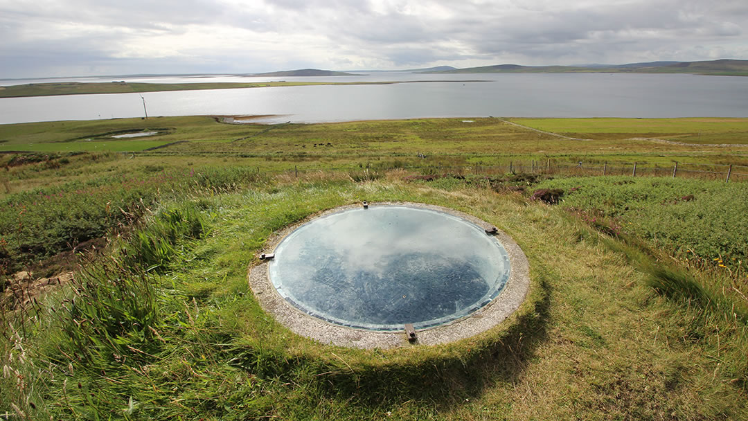
The view was actually the reason that the tomb was discovered in 1898; Lady Burroughs found it whilst looking for a summer seat! Taversoe Tuick is unusual because it is a two storied tomb. In the centre of the tomb there was a hole in the floor and, using a metal ladder, you can descend and explore further. In the past the slope of the hill allowed separate access to the two chambers.
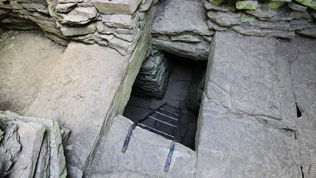
Archaeologists were left wondering if the dead were segregated in some way at Taversoe. Perhaps two different groups used Taversoe Tuick; one group using the lower chamber and the second using the upper.
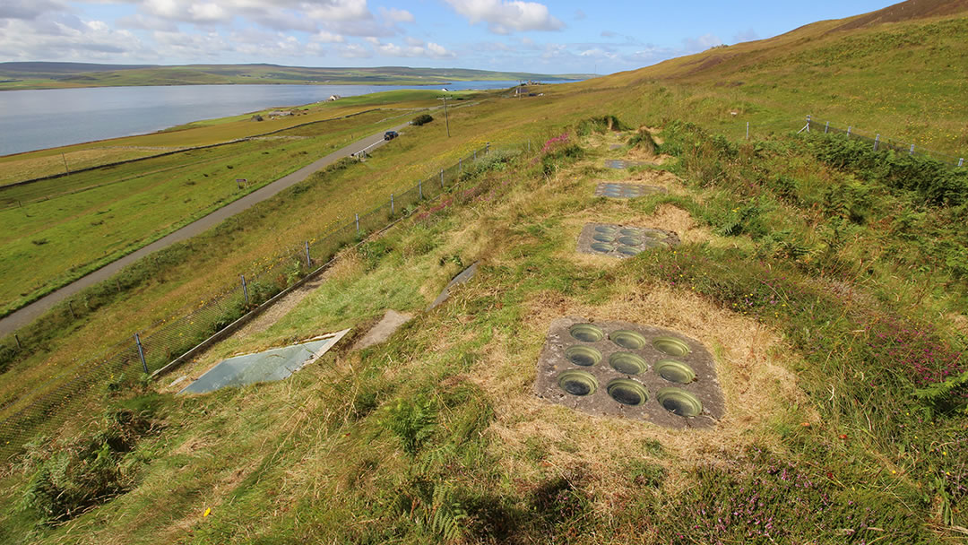
The next stop along the road was Blackhammer Tomb. A very short climb from the road up a hillside, Blackhammer has a dramatic name which we very much liked! It’s a long stalled cairn with seven compartments. Blackhammer was damaged over the centuries before the modern roof and entrance were installed.
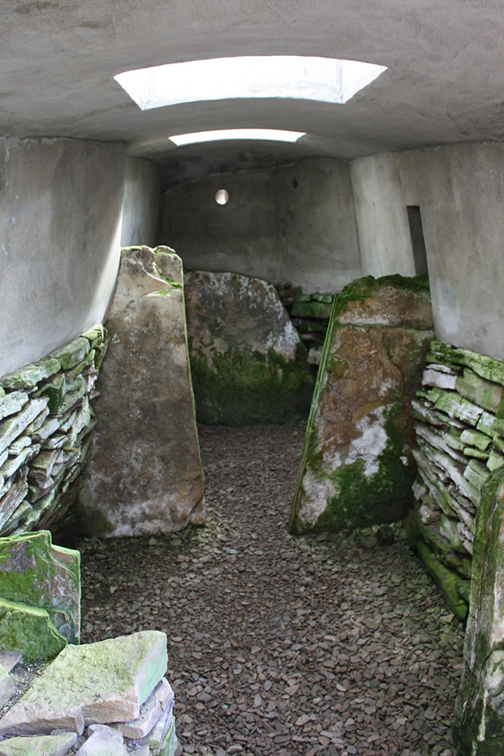
It is now entered via a metal sliding door on its side; climbing down into it is like climbing into a war bunker. The 5,000-year-old tomb was lit by skylights in the roof. We had fun inside as Robbie stood on the roof outside and ran from skylight to skylight.
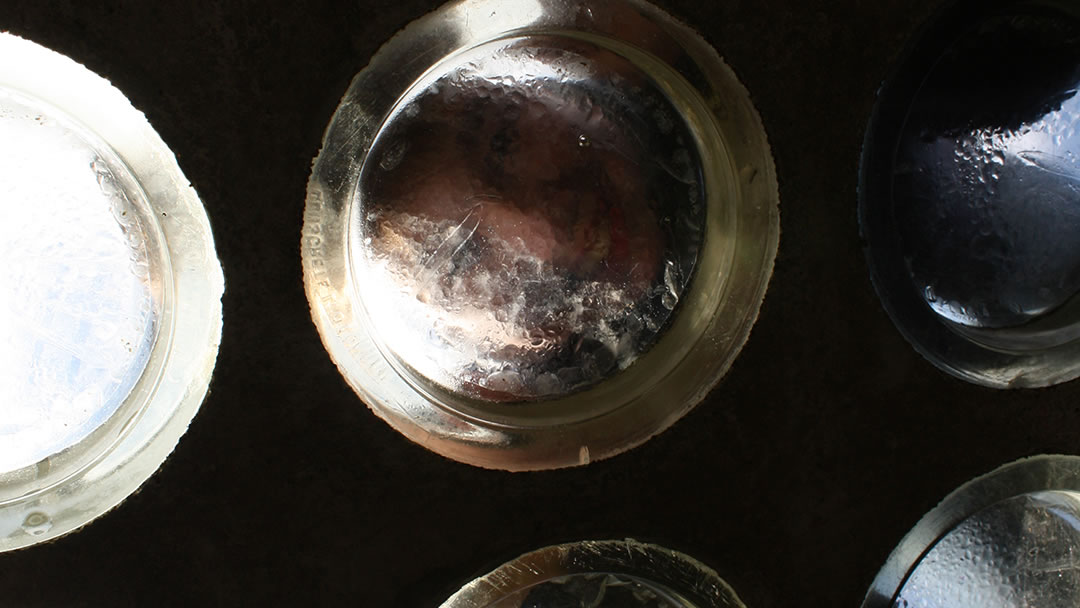
Blackhammer was elaborately built; and it is thought that cairns were used for more than just burial ceremonies. Ancestor worship was an important part of these people’s religion.
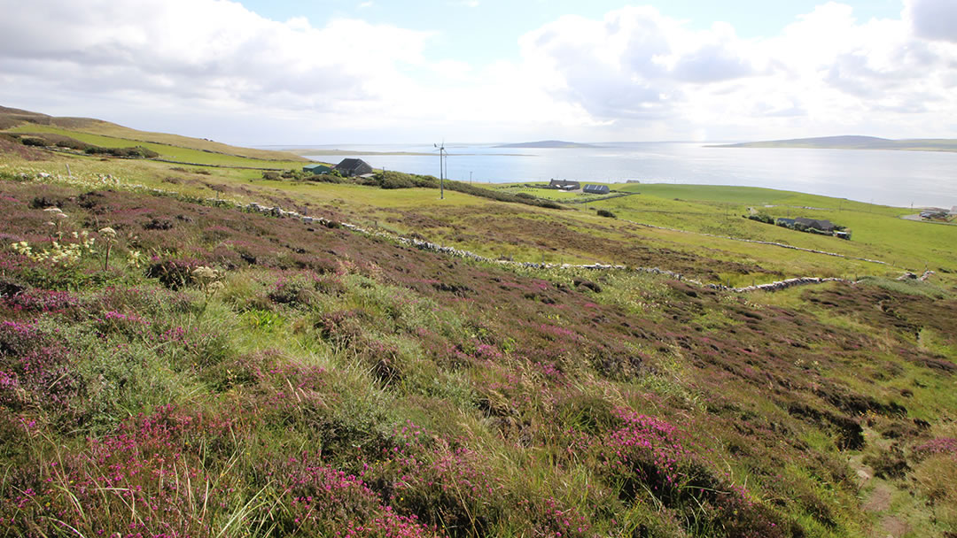
As we made our way back to the car the sun was now beating down upon us. We enjoyed watching the ferry as it moved between islands. After a short drive we passed The Taversoe; a fine family-run inn with a tempting menu. Close by we parked up and began the climb to the Knowe of Yarso.
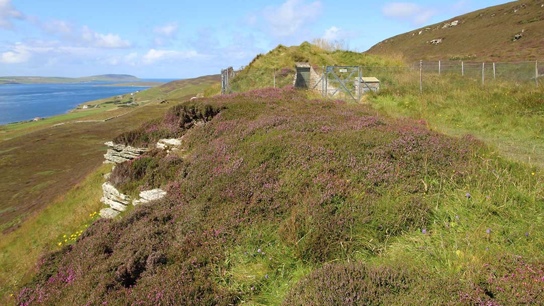
The climb to the Knowe of Yarso chambered cairn was much longer than the previous climbs to Blackhammer Tomb and Taversoe Tuick. However, after some zig-zagging following a path through heather we made it up onto a ridge 100m above sea level. Here we were treated to a spectacular view of the landscape below.
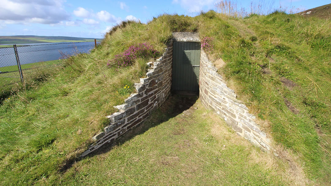
The Knowe of Yarso is another stalled tomb, similar to Blackhammer Tomb. It was divided by upright slabs and contained the remains of at least 29 people; 17 represented by skulls which were neatly arranged, facing inwards. The human bones were scorched, and there is evidence of heat having cracked the chamber walls; indicating that fires to cremate the bodies were lit inside the Knowe of Yarso.
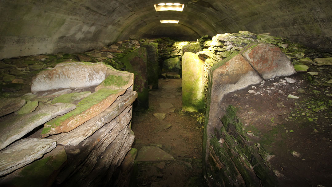
Also within the tomb there were found the bones of sheep, a dog and 36 red deer. Though the Knowe of Yarso is a Stone Age tomb, Bronze age pottery was also found inside, indicating that it was in use for a very long time. Given the location and the view, only the most highly-regarded Stone Age individuals must have been buried up here.
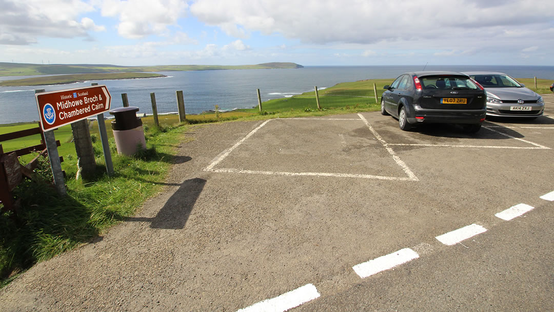
Upon returning to the car we set off for Midhowe Chambered Cairn and Midhowe Broch. These are set on the coast, 500m below the road. We parked and gathered our picnic; we planned to eat at the broch.
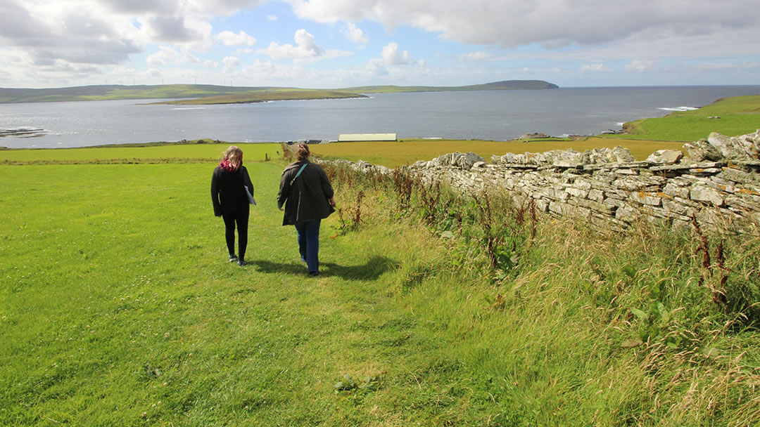
After a five minute walk down the hill we entered Midhowe Chambered Cairn. This tomb is so large (at 30m long and 9m wide) that a massive building was constructed around it to protect it.
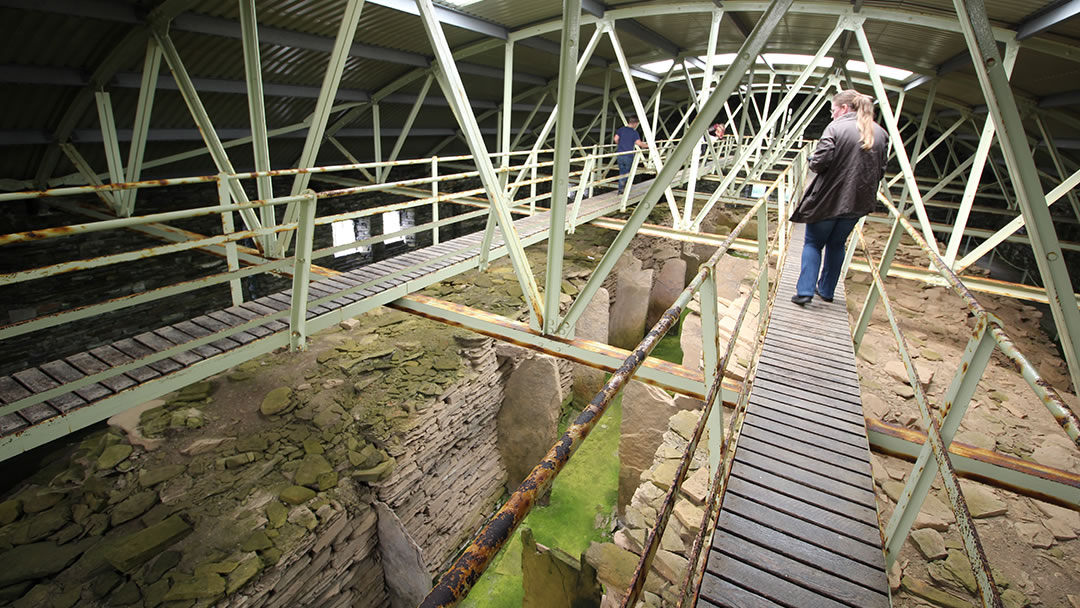
There are metal and wooden walkways above Midhowe Cairn to enable visitors to explore the tomb without damaging it. Within Midhowe Chambered Cairn there were 25 crouched bodies in 12 pairs of stalls. There were also the bones of oxen, sheep, red deer, pig and birds within this communal tomb. These animal bones showed that this society were both farmers and hunters.
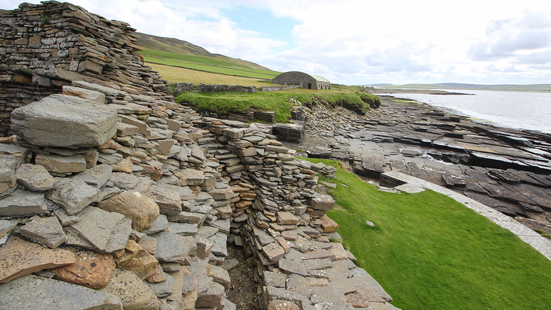
A short walk away from Midhowe Chambered Cairn is Midhowe Broch, which is a round Iron Age building which looks across Eynhallow Sound. There were at least nine Iron Age Brochs along this coastline once, including the Broch of Gurness on the Orkney Mainland.
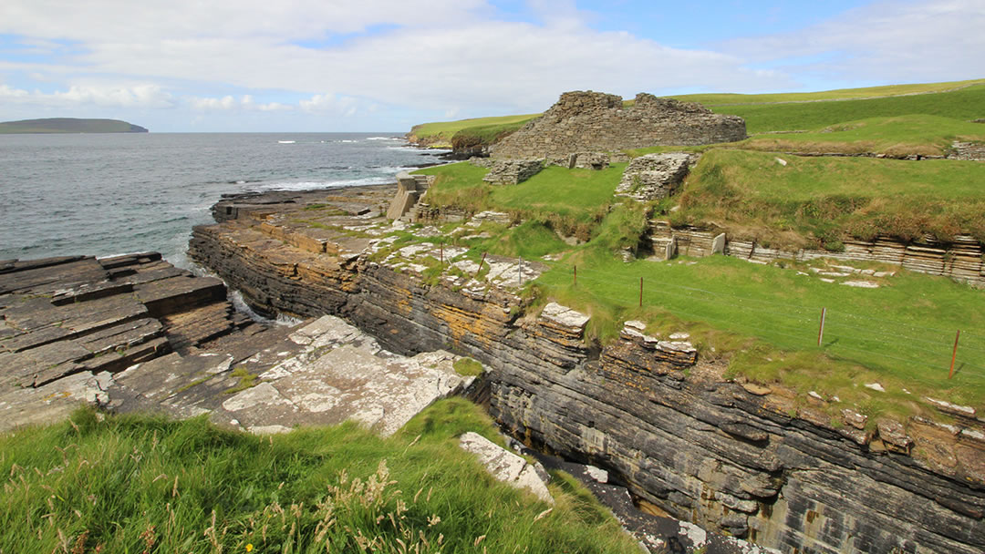
Midhowe Broch is in a very fine defensive spot – it stands on a promontory and is protected by a ditch. A sea wall was built in the 1930s to protect the broch from coastal erosion.
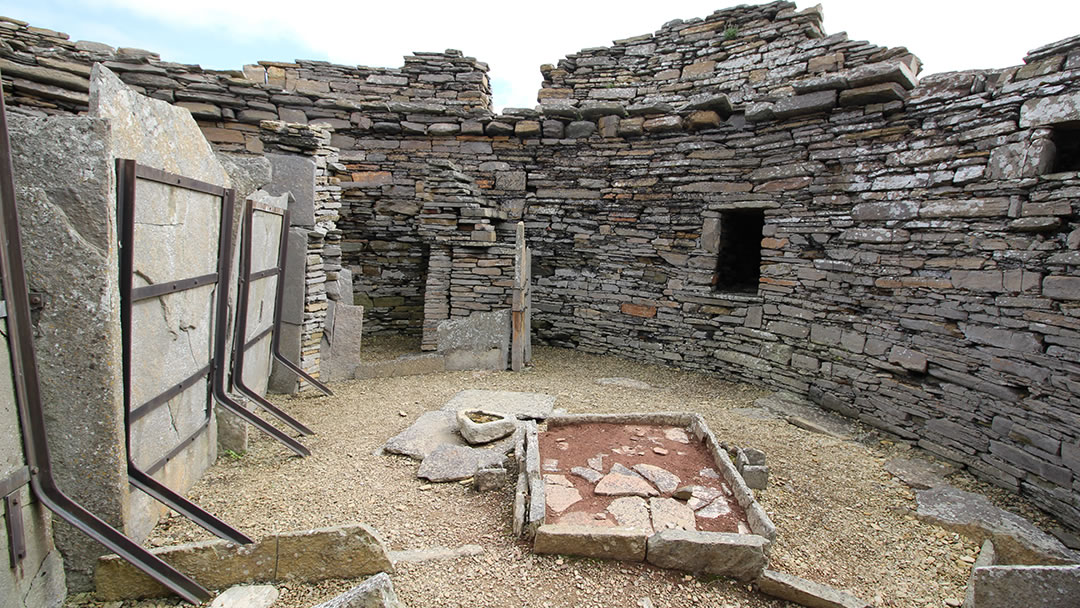
Midhowe Broch was occupied between 200BC and 200AD and the interior of the broch is in fine condition. Midway through its life, the ground floor of Midhowe Broch was divided into two rooms of roughly the same size, and the surrounding outbuildings were constructed. The dwellers of Midhowe Broch were wealthy; excavations found locally-made bronze ornaments and iron tools. Archaeologists also found dark orange Samian pottery from the Roman Empire inside.
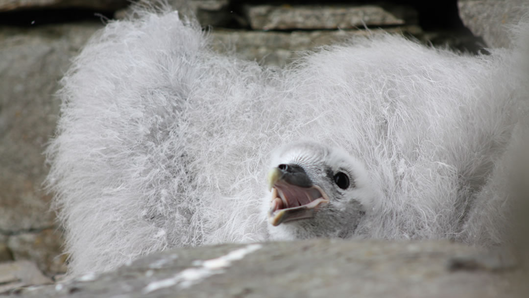
Within the 4.3m high broch walls there was a fulmer chick who was not at all happy to see us! We ate our picnic at the broch, but regretted it, for we then had to climb the hill from Midhowe Chambered Cairn and Midhowe Broch to get back to our car. It would have been better to have kept lunch as a reward for reaching the top!
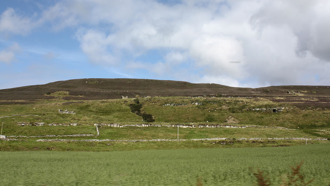
When we set off, we started to drive around to the west side of the island. This area, called Quandale was, along with nearby Westness, the only areas in Orkney which were affected by clearances. At Quandale the remains of traditional crofts can be seen. At Westness 210 people were evicted to modernise the Westness Estate.
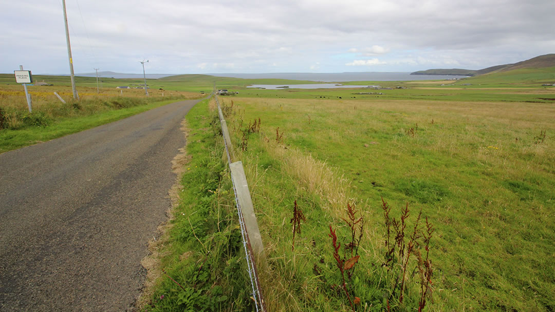
It wasn’t long before we were at the north side of the island. There is less here in the way of archaeological sites, but the scenery is possibly better! There’s a very fine view of Westray and the other North Isles. The landscape is lovely here; we passed fields of barley and circled Wasbister Loch.
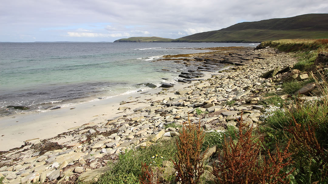
Shortly afterwards we parked up at Saviskaill Bay. This was my mum’s favourite beach in Orkney and it was easy to see why. Milly, Robbie and I enjoyed our time there; I paddled in the fast-flowing stream which runs into the sea and enjoyed the beautiful colours of the sea.
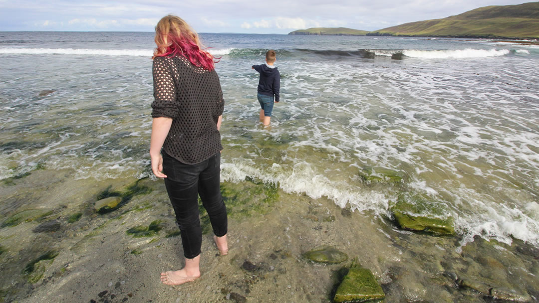
Milly and Robbie loved looking for shells and seaglass. Vicky went on a photo field trip. Saviskaill Bay is also a popular hangout for seals, so it’s worth taking a camera or binoculars.
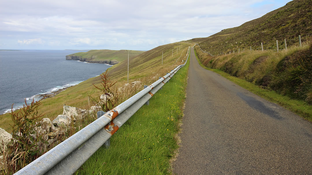
We clambered back into the car and set off on the road again; which led up Kierfea Hill. This long steep hill provides some of the most dramatic views in Rousay. I remember cycling it in my younger years and it was a tough climb. All the while there had been the promise of free-wheeling down the other side, but when I reached the crest of the hill my bike had got a puncture!
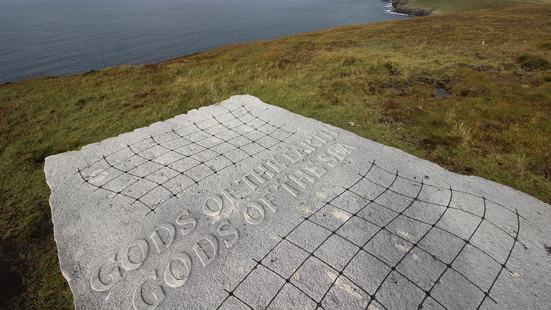
In a car it was much easier, and at the top we stopped to visit the massive stone sculpture ‘Gods Of The Earth, God Of The Sea‘ created by artist Ian Hamilton Finlay. It ideally situated; a massive slab of stone exposed to the elements and looking northwards over the Rousay cliffs.
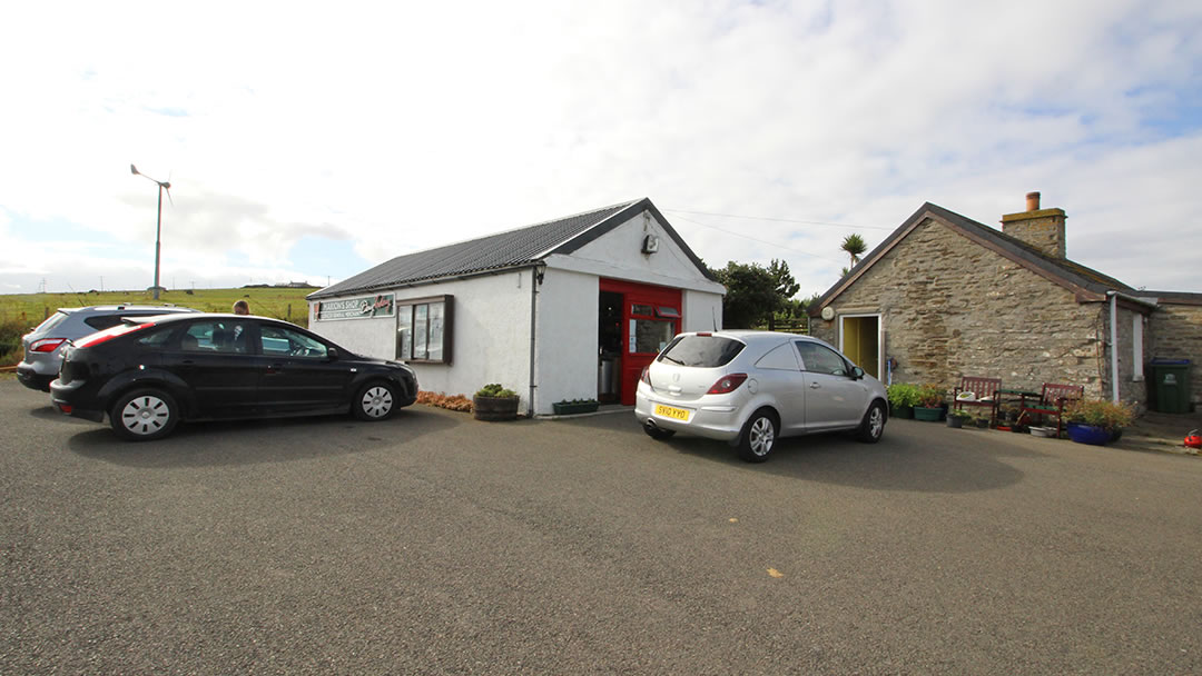
We drove back towards the ferry, but decided to visit Marion’s Shop for an ice cream. Marion’s Shop is surrounded by a beautiful garden; it was hard to believe we were in wind-swept Orkney as we approached. The shop itself was filled with tasty treats and we received an enthusiastic welcome. We’ll certainly go back here when we return to Rousay!
If you’re looking for a meal on Rousay, The Taversoe Inn, two miles west of the pier is the only place on the island which serves hot food, and there’s a bar here too.
Nearby Marion’s Shop there’s the Neolithic village of Rinyo, which was investigated by archaeologists in 1938 and 1946. It is thought that Rinyo was larger than Skara Brae!
As we drove to the ferry we also passed huge sculptures by the side of the road; there was a whale’s fluke, a dolphin and a lighthouse too; Rousay has more than it’s fair share of talented artists!
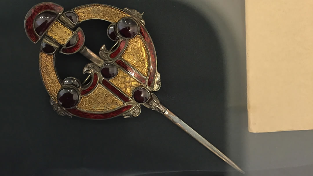
During our day we did miss quite a few of Rousay’s best sites. There’s the Westness Walk which takes you through Stone Age, Iron Age and Viking times. The lovely Westness Brooch (pictured in the National Museum of Scotland) was discovered here in 1963 in the grave of a Viking woman. We would have liked to have explored the recently discovered archaeological site, Knowe of Swandro. The Trumland House Gardens are 50 acres of gardens surround a beautiful former Laird’s house. Nearby Trumland Farm offers chalet and hostel accommodation (other accommodation options are available) and bike hire.
We would have also enjoyed going to a walk at Faraclett head; this takes you through unique habitats with stunning views of the North Isles.
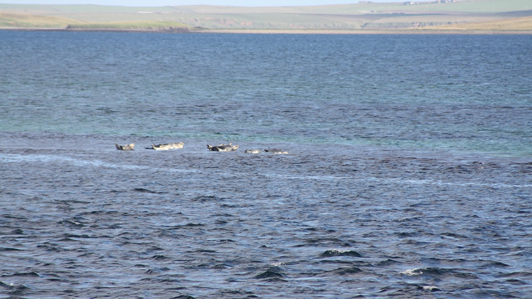
However as we watched the ferry steam back into the Rousay pier we were feeling very satisfied. Everyone had had a fantastic day. On the ferry journey back to the Orkney Mainland we saw seals on a sand bar. This made them appear to be lying on top of the sea! It was the perfect ending to a magical day in Rousay.
 By Magnus Dixon
Orkney and Shetland enthusiast, family man, loves walks, likes animals, terrible at sports, dire taste in music, adores audiobooks and films, eats a little too much for his own good.
Pin it!
