5 island hikes in Shetland you may not have considered
Shetland remains a firm favourite for those who lace up their boots and explore. The island is a gift to walkers and hikers who enjoy Scottish Outdoor Access rights and relatively open countryside.
The coastline around Clett, on Whalsay’s south coast, has some beautiful scenery, and you may even spot a few puffins if you’re walking in the breeding season!
Many walks across Shetland are well-publicised and offer fantastic scenery and wildlife opportunities. Laurie Goodlad shares some of her favourite island walks away from the Mainland in this blog.
Take a day trip to Out Skerries
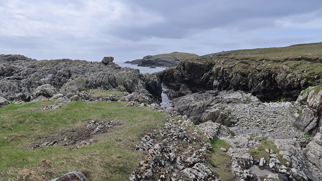
Out Skerries, known locally as Da Skerries or just Skerries, are a small, low-lying trio of islands – Housay, Bruray and Grunay – 13 miles off Shetland’s east coast and four miles to the northeast of Whalsay. A road bridge connects the inhabited islands of Housay and Bruray, and you can walk the whole coastline in a day. Take the inter-island ferry into the Skerries in the morning and come out late afternoon.
Skerries’ coastline is low-lying and easy to walk, and as the island’s highest point is only 53m above sea level, walking anywhere on the island offers fantastic panoramic views. Skerries is known for its historic shipwrecks, including the Dutch East Indie ships De Liefde (1711) and Kennemerland (1664).
Hike Papa Stour’s wild west coast
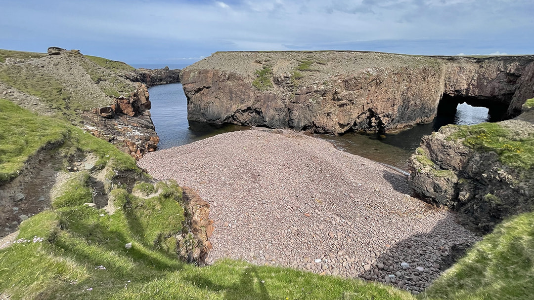
A mile offshore from Sandness in Shetland’s West Mainland and accessible several times a week by ferry from West Burrafirth, Papa Stour, known locally as Papa, is geologically fascinating. The island, formed from volcanic ash and lava, has an incredible coastline and is a gift to hikers seeking dramatic scenery and impressive rock formations.
The island’s west coast, from Hamnavoe to Virda Field, holds the most breathtaking views with highlights including Kirstan’s Hol, a gloup inland from the sea where the sea washes in and out through a sea cave that leads back to the ocean, and Aisha Stack, Sula Stack, Aisha Head and Da Snolda. This is a moderately challenging walk of around 10 miles (17 k), which can be shortened if you omit the headland south of Hamna Voe.
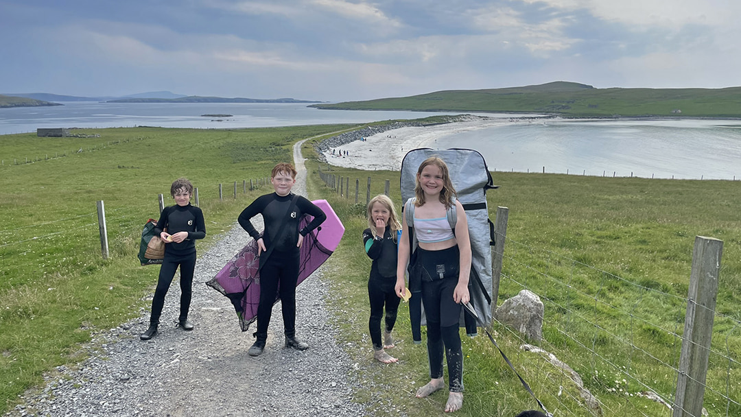
Soak up the scent of wildflowers at Kettla Ness, West Burra
Burra, on Shetland’s west coast, is connected to the mainland by two road bridges, so it involves no inter-island ferry – one bridge leads from the Mainland onto Trondra, and the other, from Trondra to Burra. From here, head towards Papil, parking at Minn Beach. Minn Beach is a beautiful tombolo with white sand on one side and stones on the other. The beach leads to Kettla Ness, which makes for a lovely hike in the evening as the summer sun hangs low in the sky.
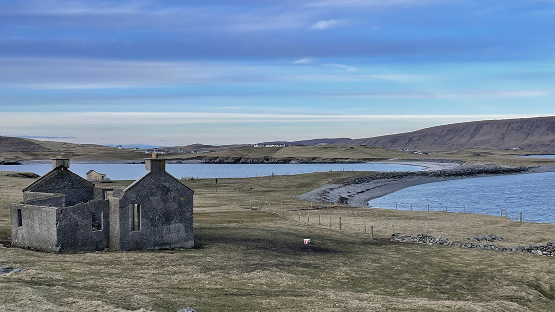
The best time to visit is June, when the thrift creates a carpet of pink on the headland. With breathtaking views down Shetland’s South Mainland and across to the now uninhabited island of South Havera, this 5-mile (8k) walk is sure to be memorable. Minn Beach is also a fantastic, sheltered swim spot, and with a shallow bay, it’s safe from the open sea.
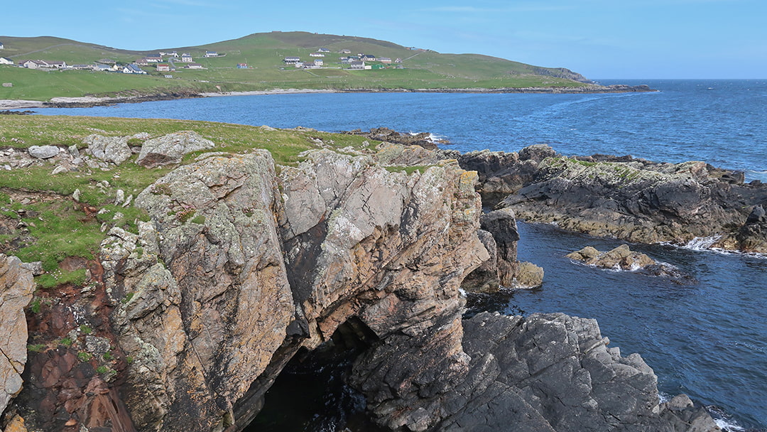
Walk Whalsay’s coastline
Whalsay, known as the Boanny Isle, is a tight-knit community of around 1,000 – a number that has remained unchanged over the years as the island enjoys relative prosperity brought in by the nets of the local fishing fleet. The coastline around Clett, on Whalsay’s south coast, has some beautiful scenery, and you may even spot a few puffins if you’re walking in the breeding season from mid-April to mid-August. Another fantastic short walk is around the now-abandoned settlement of Treawick on Whalsay’s east coast.
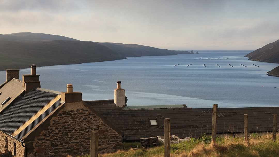
Discover the history at the Herra, Yell
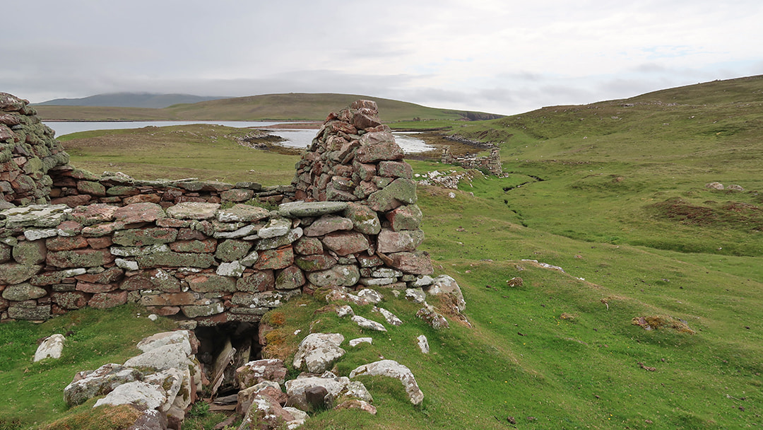
Yell is often forgotten by visitors to Shetland, who usually rush through to get to the most northerly island of Unst. But why not spend a little time in Yell and walk from the Herra, a place steeped in myth and lore, out to the Stuis of Graveland, an area dominated by sea stacks, cliffs and geos. Look for the Ern Stack, a place where sea eagles used to nest before they were hunted to extinction in Shetland.
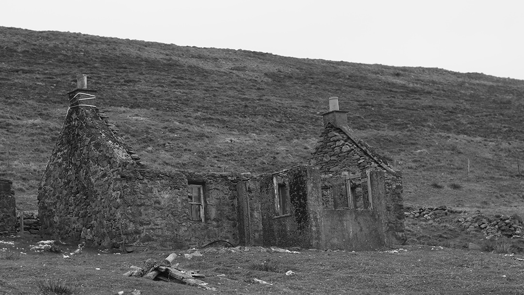
Walking out along Whale Firth, you pass the abandoned homes of Grommond, the houses strung out along the side of the valley as a reminder of the population who once lived there.
Top tip: Ferries to Skerries and Papa Stour must be booked in advance, and there’s no need to bring a car to these islands as they are easily walked. Booking can be made by phoning the Booking Office on +44 (0)1595 745804 or email [email protected].
*Remember to roam responsibly, check out the Scottish Outdoor Access Code, and download the What3Words app before you set off.
 By Laurie Goodlad
Born and raised in Shetland, Laurie loves the unique history and culture there so much that she started her own tour company offering visitors the chance to see the isles through the eyes of an islander. Find out more at www.shetlandwithlaurie.com
Pin it!