Archaeology on Shetland’s coastline
With almost 1700 miles of coastline, and nowhere more than 3 miles from the sea, the ocean has profoundly shaped life in Shetland. Pervasive myths about island communities describe them as remote, with the sea thought to be a barrier, separating them from the rest of the world. However, the sea is, and always has been, a means of connection, bringing people from around the world to our shores.
This is the thing I love most about Shetland archaeology, how present it is, part of living landscapes. I have learned to recognise and appreciate some of the quieter, and more intangible parts of the archipelagos history.
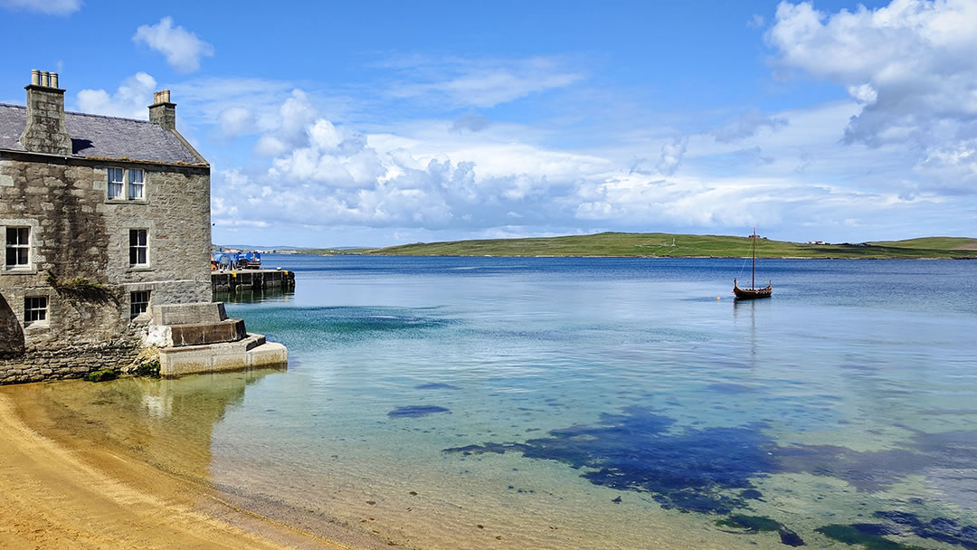
Some of the most visible parts of our history and culture are found along our coastline. You can see a stone booth dating back to the Hansiatic trade overlooking a modern fishing fleet or the crumbling remains of a historic fishing station watching over thriving mussel farms. Even our capital Lerwick developed due to islanders trading with visiting Dutch fishermen, and place names and stories keep this history alive.
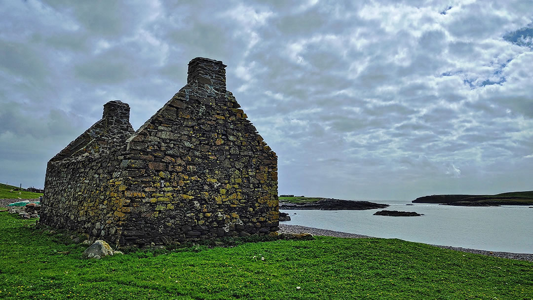
This is the thing I love most about Shetland archaeology, how present it is, part of living landscapes. When I first moved to the islands, I was captivated by world famous sites like Jarlshof and Mousa. Although I still love spending time there, I have also learned to recognise and appreciate some of the quieter, and more intangible parts of the archipelagos history.
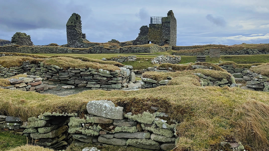
With few areas of cultivatable land, a short growing season and harsh winter weather, Shetland crofters were reliant on resources from the sea in addition to what their land produced. Almost every household had a boat. When folk weren’t fishing or during times of bad weather, boats were housed in noosts.
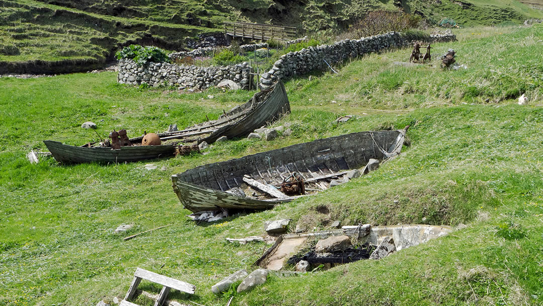
These simple shelters, close the water but above the reach of the highest tide, were once a familiar part of island life. Some are distinctly boat shaped, with stonework and other evidence of their past purpose. Others are little more than a dip in the coastline, visible only those who know what they are looking for.
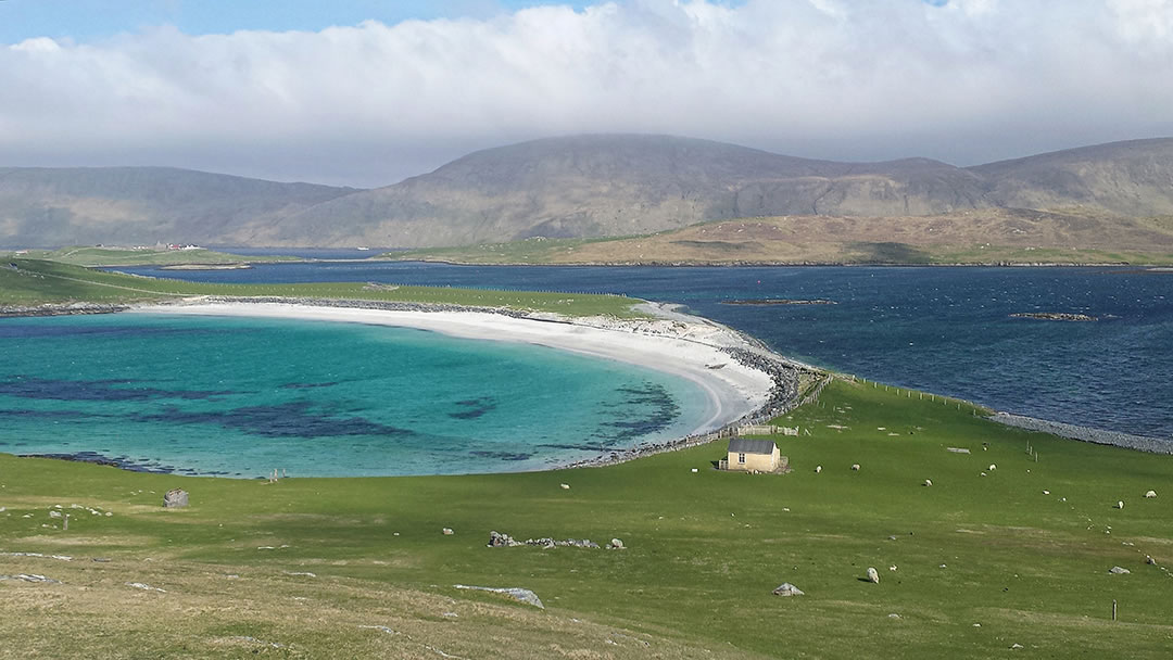
Recently, I met up with Esther from Moder Dy, a community organization whose 2020 lockdown ‘caain da noosts’ project, sought to preserve stories of noosts and the people who used them. We visited two sites in Burra.
The first, on the east side of Minn beach, was a small hollow carved out of the banks, built up with stones. Its size suggested it was once home to a sixereen, Shetland’s traditional six oared fishing boat.
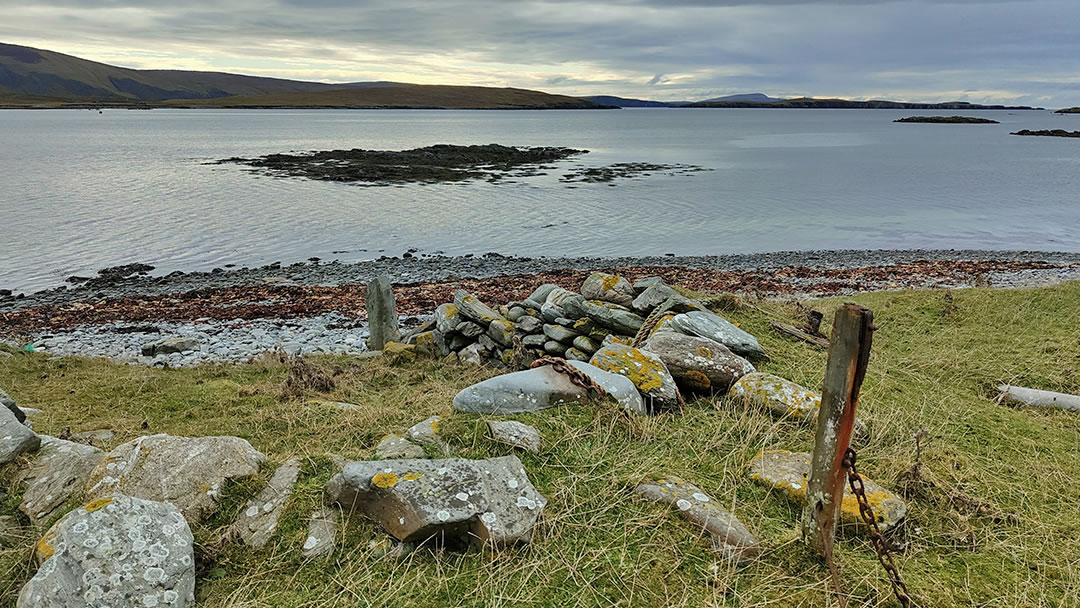
A rusty metal chain attached to an upright wooden post showed where boats were once secured. Looking at the ground around us Esther pointed out differences between geological and anthropogenic soil, with the latter containing signs of human activity. There were many shells commonly used for bait. The presence of oyster shells, a species no longer part of the ecology of this place, confirmed they were archaeological midden material rather than a natural occurrence.
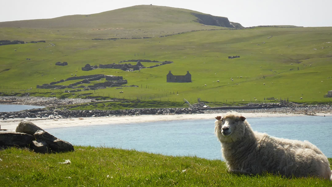
The second site was a dip in the coastline, located alongside the remains of some Norse buildings. Esther explained that previously this had looked a lot more like a noost, potentially a historically significant one. It was larger than is usual for sixereens, suggesting it might been a place to shelter Viking longships. However, winter storms had transformed the coastline, eroding evidence of what had been, and making any definitive statements about past use impossible.
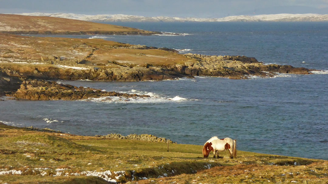
Esther explained the ephemeral nature of coastal archaeology is part of the joy and frustration of this work. Shifting sands reveal new structures, bringing fresh insights into our past but erosion also means some history is lost to the sea. A big part of Moder Dy’s project was to preserve the knowledge of these places before they are gone.
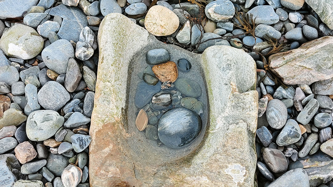
The next time I walked along this part of the coast, it felt like a familiar place had been transformed by new knowledge. I paid more attention to shapes in the land, how stones were positioned, wondering which were part of the natural geology of the place and which may have been placed by human hands. A mother of pearl shimmer amongst the stones caught my eye, an oyster shell, a small piece of a fishing expedition many years ago. I wondered who was on that boat, if they had a successful day fishing, if their descendants still live in this area, if their story is remembered.
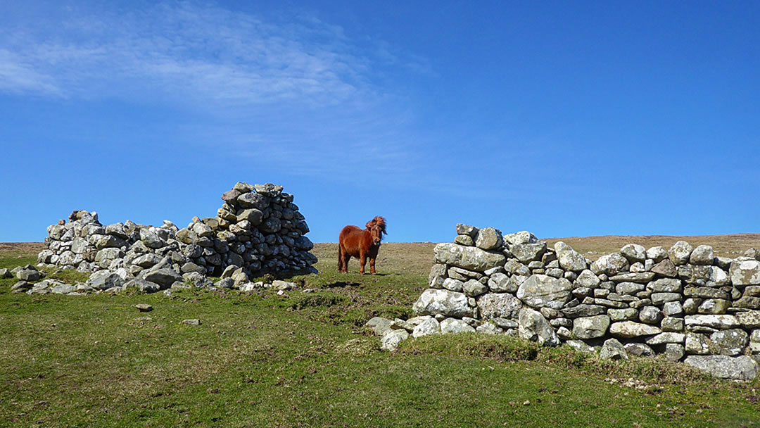
So much of Shetland archaeology is like this, evidence of past lives that can be encountered on almost any walk. Much of this knowledge, these stories of places, are shared and preserved through organisations like Moder Dy or the many local history groups. Whatever your interest, be it the archipelago’s maritime links, military history, folklore or archaeology, there are fabulous resources to help you engage with these topics as you explore the islands.
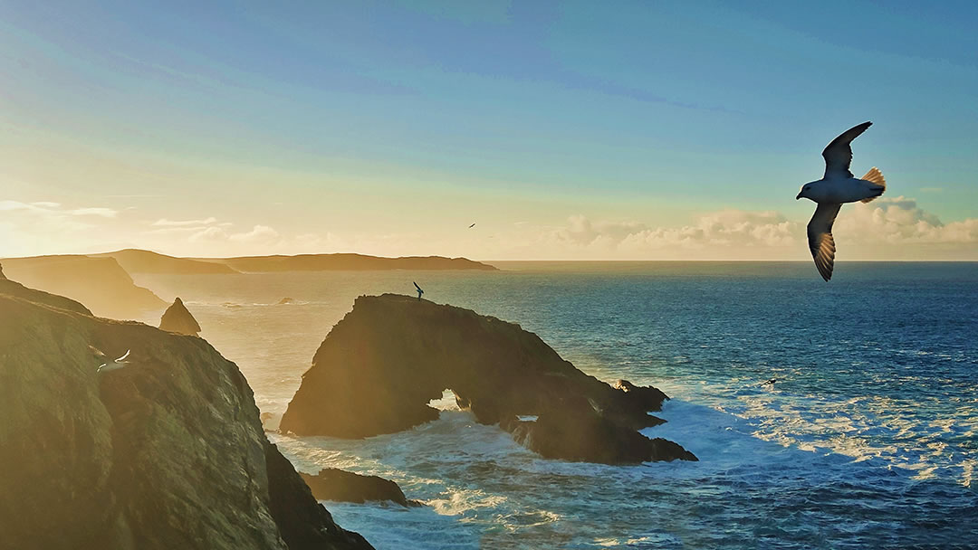
If you are exploring places in Shetland it is worth visiting the island’s many local history and heritage centres. These community resources are a wealth of information to explain.
 By Catherine Munro
Catherine Munro is an author and anthropologist living in Shetland. Her work focuses on nature and human-animal relationships in the islands. She loves exploring Shetland with her children and sharing these experiences through her writing.
Pin it!