Island in Focus – Bressay and Noss
One of the easiest of Shetland’s outer islands to reach is Bressay. The island faces Lerwick and shelters the town’s harbour from the east.
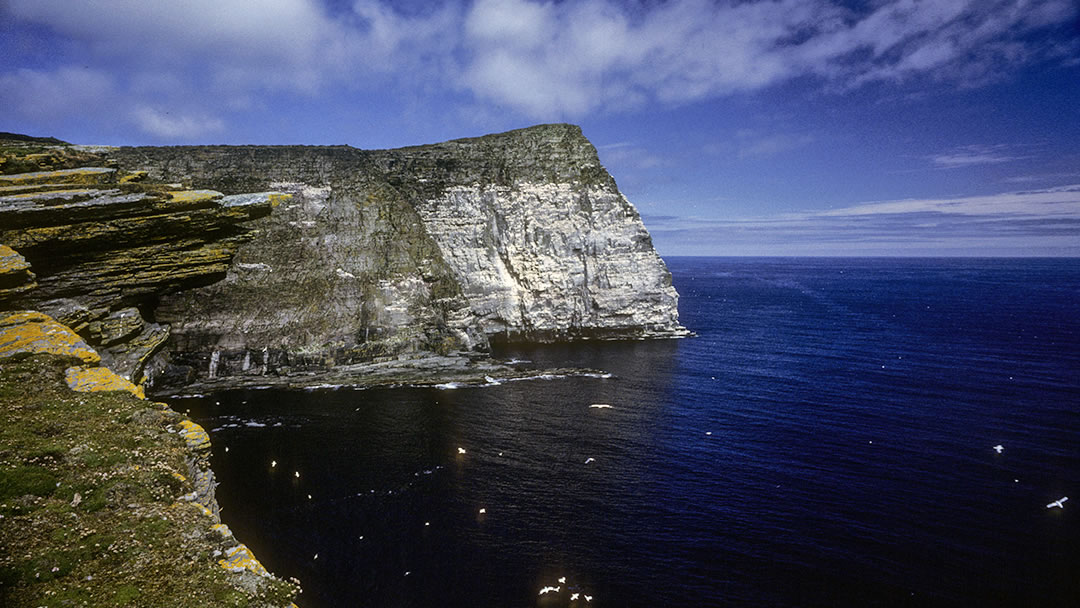
Many visitors to Bressay continue east to Noss, the neighbouring island. Noss is a spectacular National Nature Reserve, a green wedge which rises to a massive 180m tall seabird cliff known as the Noup of Noss. Each summer the sandstone cliffs are lined 100,000 pairs of breeding seabirds that scream and squabble and eye the tide.
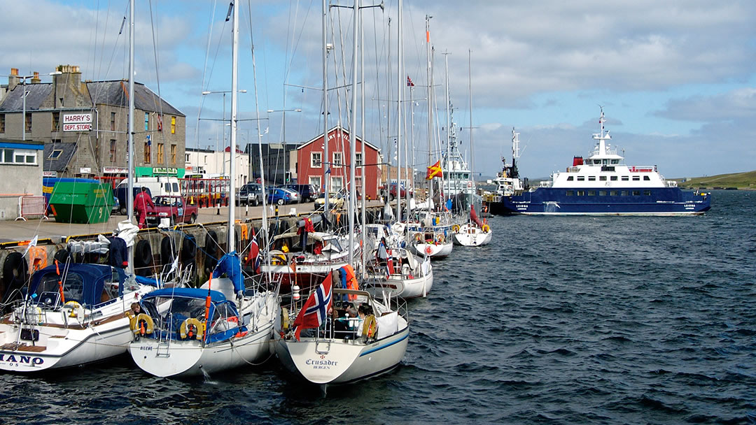
The ferry ‘Leirna’ crosses the 1,100m stretch of water from Lerwick to Bressay in just 7 minutes.
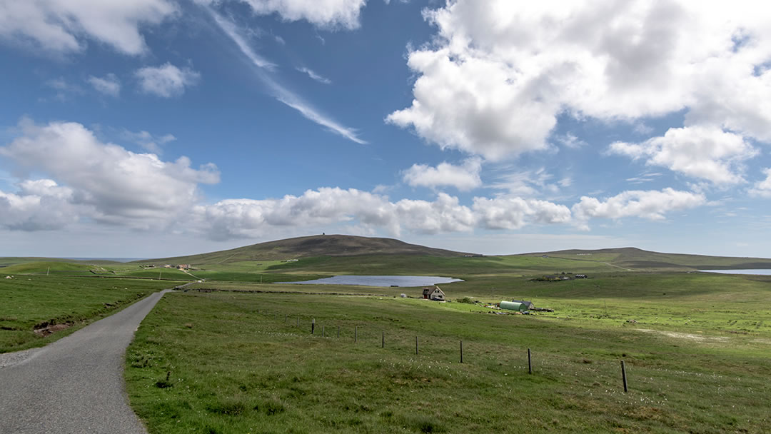
Bressay is 7 miles long and 3 miles wide and has a rocky coastline. It is made up of Old Red Sandstone and so the island is particularly fertile around the coastal fringes. The sandstone cliffs of both Bressay and neighbouring Noss have eroded to form ledges crowded with seabirds.
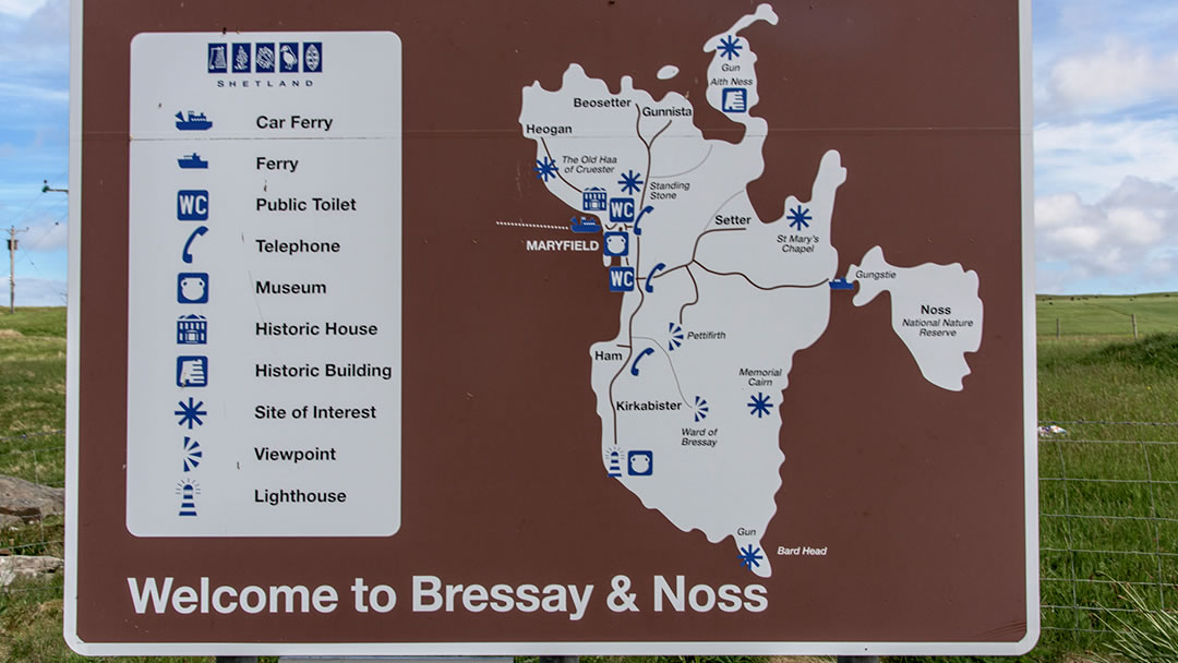
There is much to see on Bressay and Noss, including impressive artillery guns from WW1, a roofless medieval church, Pictish stones and the white lighthouse at wild Kirkabister Ness.
Travelling to Bressay
The passenger and vehicle ferry makes frequent crossings, around twenty every day, which leave from a pier in the centre of Lerwick and arrive at Maryfield in Bressay. Information about the ferry can be found on https://www.shetland.gov.uk/ferries
Bressay can be explored by car, by bike or on foot. Vehicle drivers should be aware that on the quiet single-track roads of Bressay, traffic gives way for vehicles heading towards the ferry. Some of the more remote places in Bressay can only be reached by walking there.
Kirkabister Ness
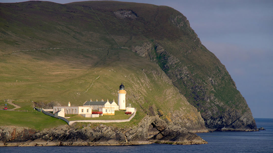
The road to the south of the island runs along the west coast and ends at Kirkabister Ness and the Bressay Lighthouse. It was built in 1858 by Thomas Stevenson (the father of Robert Louis Stevenson) with his brother David Stevenson. There was some debate between the siblings as to whether lighthouses could be built in Shetland waters.
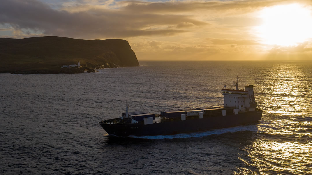
We are glad they persevered. The lighthouse is a welcoming sight for sea-travellers arriving in Shetland and has guided ships safely through Bressay Sound for many years.
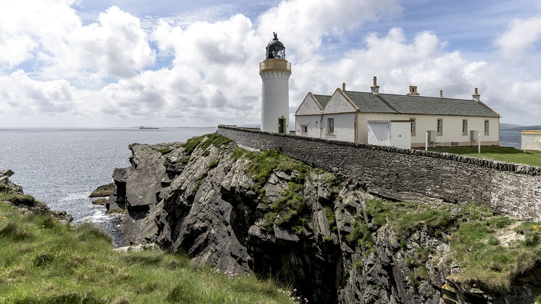
In 2012 the 23-mile light on Bressay Lighthouse was switched off after 150 years of operation. The keepers’ quarters are now available for short term holiday lets.
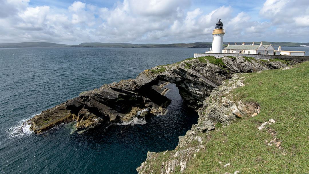
There is stunning coastal scenery nearby. Below the lighthouse, the sea drifts through a large natural arch called Da Ovluss.
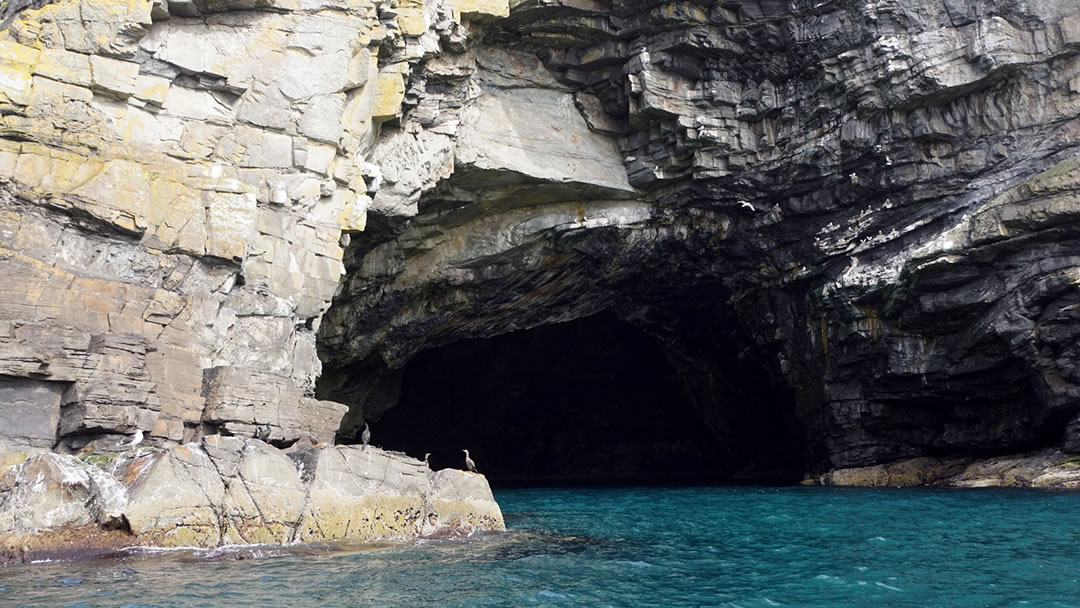
The cliffs at the southern end of Bressay are very high, so the turquoise waters in the Orkneyman’s Cave, and the craggy Giant’s Leg on the Bard, are best viewed from the sea.
The Ward of Bressay
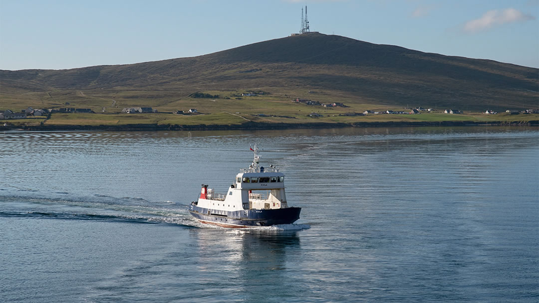
The Ward of Bressay is a volcano-shaped hill which dominates the southern end of the island. The 226m high hill is spiked with tall masts. In 1964 the Ward of Bressay became the location of Shetland’s TV transmitter.
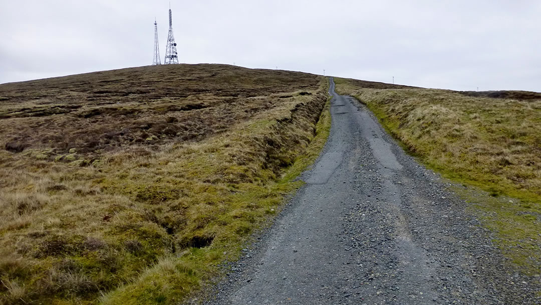
The name Ward comes from the Old Norse ‘Varda’ meaning ‘watching place’. Those who climb the rough track to the top will be rewarded with a superb panoramic view.
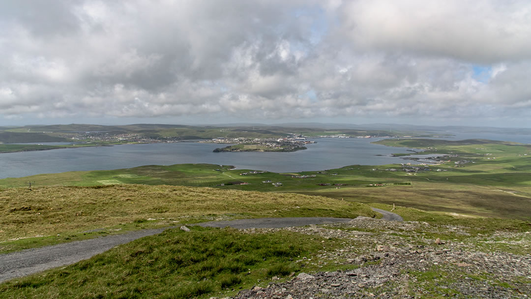
All of Shetland can be seen, from Unst in the north, Fair Isle in the south, Out Skerries in the east and Foula can be spotted far out in the Atlantic to the West.
Fishing and Bressay
Bressay’s name comes from the Old Norse meaning ‘Broad Isle’ and the water between Bressay and Lerwick has provided a safe harbour for ships and fishing boats since Viking times.
Lerwick only began life as a settlement on the opposite shore when scores of Dutch fishing boats arrived each summer in the 17th century. However, Bressay was a thriving fishing community before that.
The busiest period came with the herring boom during the 19th century. Bressay Sound teamed with fishing boats. Old fishing stations, where fish was gutted and packed in barrels for export, can be found all along the coast of Bressay. Once there would have been a flurry of activity along this shore when the catch came in.
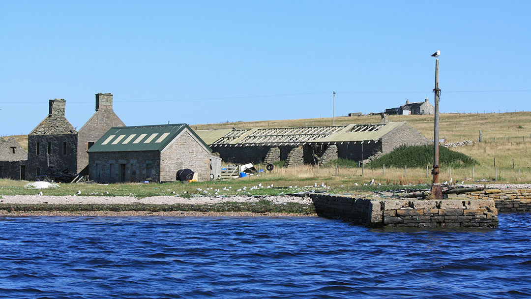
At that time there were almost 900 people living on the island. Now the population is around 400. This is still a healthy number for an outer island, thanks to the easy ferry link with Lerwick.
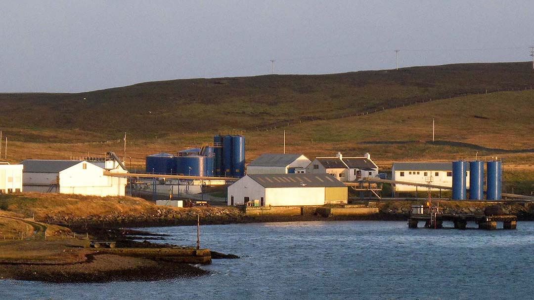
Fishing is still important today, and a large Shetland Catch fish meal processing factory (pictured above) in Bressay provides employment for islanders. However, most Bressay residents commute to the Shetland mainland for work, and all Bressay school children undertake their lessons in Lerwick.
The heather-covered interior of Bressay contains fine trout fishing lochs including the Loch of Brough, the Loch of Setter and the Lochs of Beosetter.
Crofting townships
Bressay soil is much more fertile than land found elsewhere in Shetland and this was attractive to Bronze and Iron Age farmers. Explorers will find burnt mounds, an earth house at Wadbister and several ruined brochs.
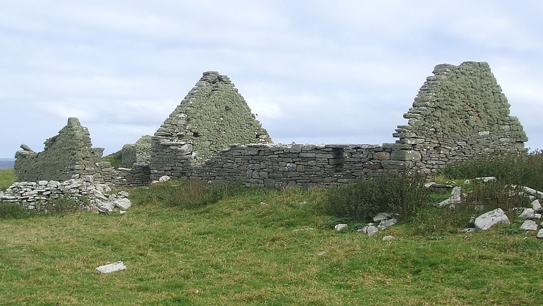
These days most of the settlement in Bressay is on the western coast of the island, close to the ferry. However, in the east of the island there were several crofting townships. These places, like Wadbister and Grimsetter began as Norse settlements. Here and there were creaking horizontal water mills. In the 1870s these crofting townships were abandoned when the Laird evicted his tenants to keep more sheep.
A Bressay quarry
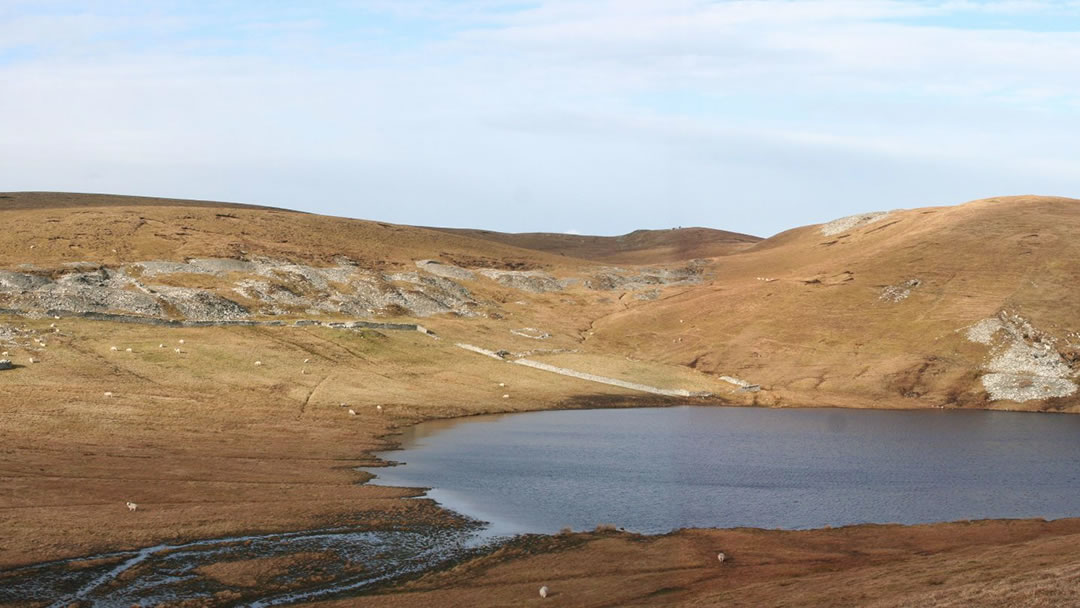
The Old Red Sandstone rocks of Bressay were easy to build with and so a quarry at Aith Ness was opened to the sun. During the 18th and 19th century, flagstones for Lerwick’s streets and building materials for Lerwick’s houses came over from Bressay.
The quarry also provided the island with stone. Many fine crofts, dykes and planticrubs were built. Planticrubs are circular drystone structures used to shelter young kale plants from the wind. Kale was used to feed sheep in the darkening days of winter.
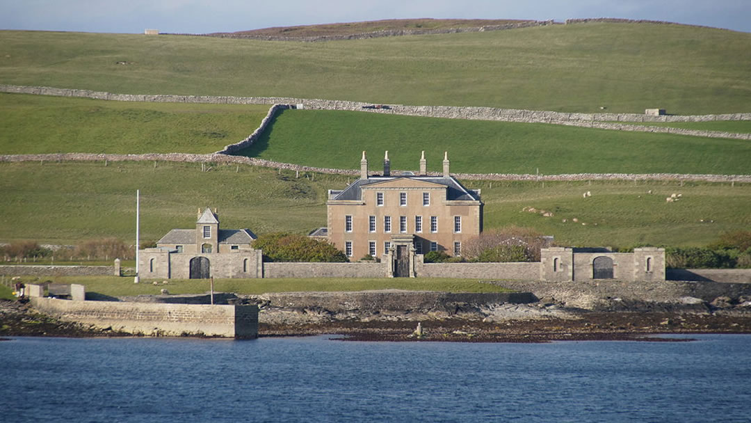
Local stone was used to build Gardie House in 1724. This proud mansion looks over to Lerwick and is home to the Lord Lieutenant of Shetland.
The quarry at Aith Ness closed in 1874 and is now flooded.
WW1 guns and lookout posts
Bressay Sound is one of the best natural harbours in the North Atlantic and so was well protected during wartime.
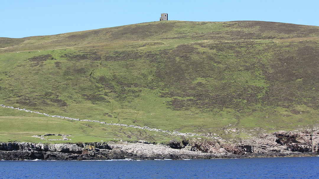
A conspicuous square WW1 lookout post can be seen on the 144m tall summit of Anders Hill. From there the watchmen could direct the two six-inch naval guns at either end of the island. Both rusting artillery guns can still be seen on their mounting today.
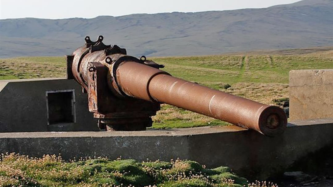
One naval gun is at Bard Head, a promontory in the southeast. A few drifting sheep stop nearby. It was built to guard the southern approach to Bressay Sound.
The other WW1 naval gun is at Aith Ness, high up on Score Hill, a grey dent in a green landscape. It guarded the northern entrance.
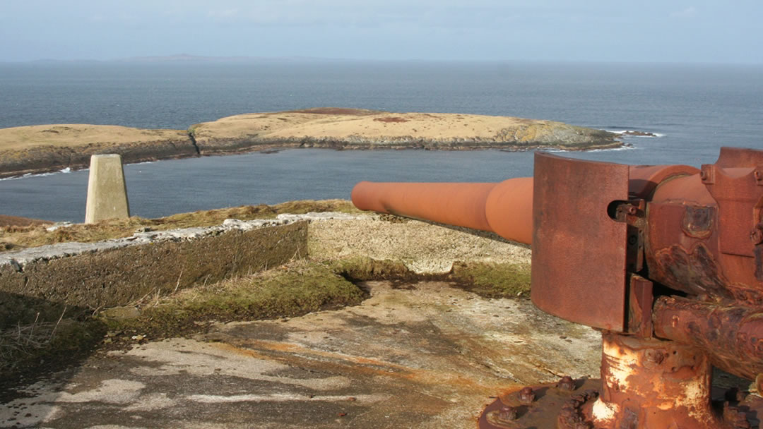
Both artillery guns were placed on Bressay by Royal Marines in April 1918, seven months before the war ended, but were never fired at an enemy. When visiting the enormous guns on Bressay we were impressed by the significant effort it must have taken to position them there.
Concrete remains of anti-aircraft gun batteries from WW2 survive at Cruester and Setter. The lookout at Anders Hill was used later by the Coastguard.
The Bressay Stone, and other places to see
There are other interesting places to visit during your time in Bressay.
On the Hill of Cruester there is a prehistoric standing stone leaning into the wind. The stone still serves as a navigational marker for fishing boats.
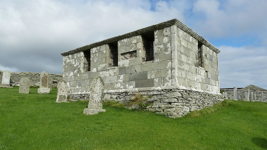
St Ola’s Church in Gunnista was the main church on the island until 1722. Only the churchyard remains now, and in it there is a rectangular 18th century mausoleum for the Henderson family who built Gardie House.
At Cullingsbrough near Setter, St Mary’s Church dates to the 10th Century. There was once an Iron Age broch here (the name Cullingsbrough comes from Kolbein’s broch), which is now a large mound in the corner of the churchyard. Many of the broch’s stones were used to build the now-ruined church.
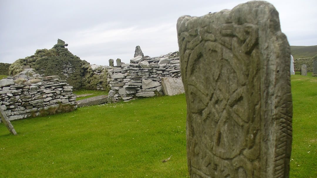
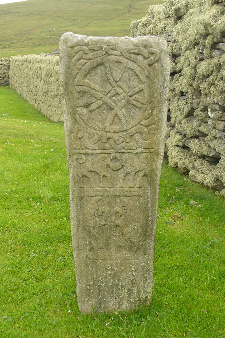
In 1864, the Bressay stone was found in the churchyard wall at St Mary’s Church. This prehistoric stone is decorated with Pictish art (including a Shetland Pony) and Ogham script. The stone is said to be a memorial to the daughter of a Pictish chieftain. The original can be found in the National Museum of Scotland, but there is a replica on site at St Mary’s Church.
At Grutwick there is a memorial cairn to helicopter winchman William Deacon who lost his life saving others from a shipwreck in 1997.
Located just above the ferry terminal, the Bressay Heritage Centre is worth visiting when it is open during the summer months. Outside, there is a reconstructed Bronze Age mound which was transported stone by stone from the shore at Cruester.
Bressay also has a marina, caravan park, public hall, and shop. The church is close to the ferry. Speldiburn café and Maryfield Hotel are good places to eat. Visitors can see brown speckled native breeds of sheep at Garths Croft.
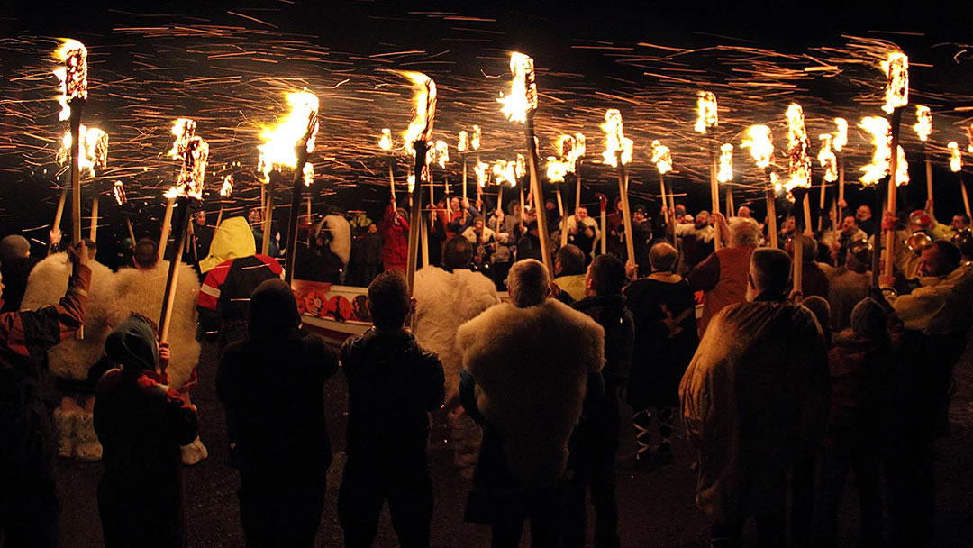
Bressay Up Helly Aa
Bressay Up Helly Aa usually takes place on the last Friday of February and involves a torch-lit procession, galley burning and a night of music and dancing in the Bressay Hall. This magnificent fire festival is very special as, depending on availability, orange flaming torches are handed to anyone who would like to participate.
Noss Nature Reserve
Many visitors to Bressay continue east to the neighbouring island, Noss. To reach Noss from Bressay there is a summer ferry service run by Scottish Natural Heritage.
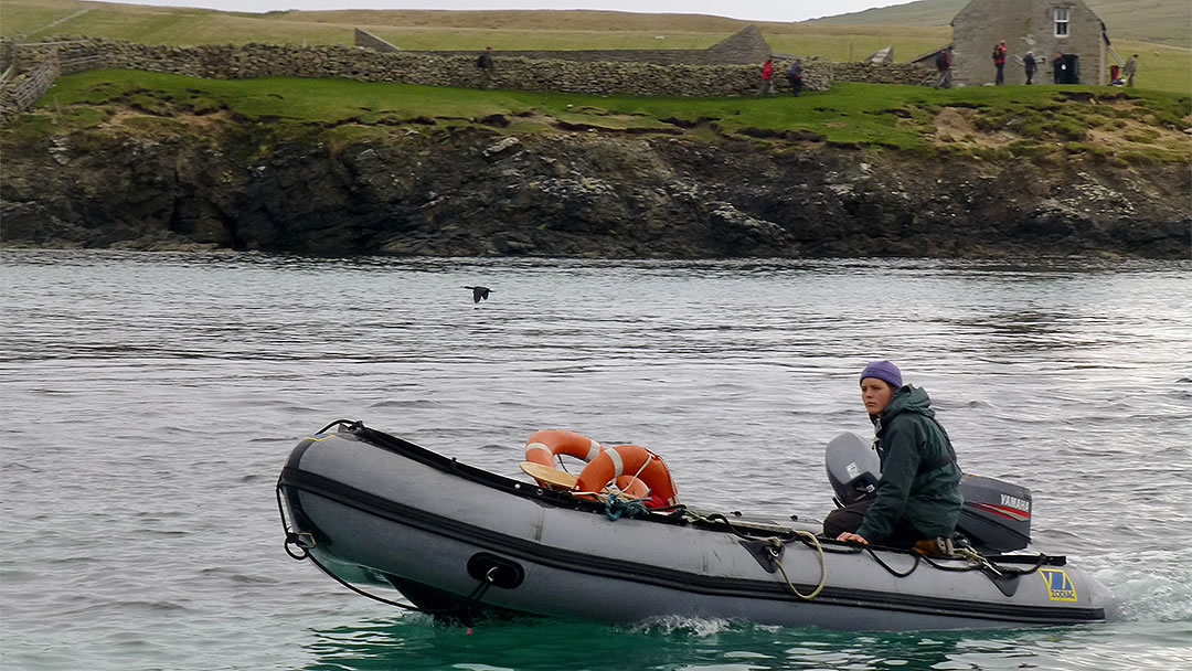
An inflatable dinghy putters across the 150m channel between the islands when the water is calm. Cold sunlight splashed on sea and land as we began our walk around the coast.
Noss is a spectacular National Nature Reserve, a green wedge which rises to a massive 180m tall seabird cliff known as the Noup of Noss. Each summer the sandstone cliffs are lined 100,000 pairs of breeding seabirds that scream and squabble and eye the tide.
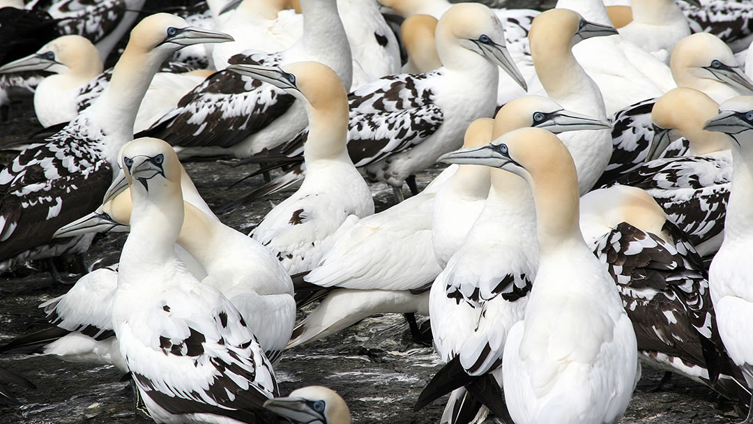
Guillemots, gannets, and fulmars breed here in huge numbers. Kittiwakes and puffins can be seen and gulls and skuas live inland on Noss. Wildflowers can be seen everywhere.
Make sure to book ahead and call on the day to check if the Noss boat is operating. Please be aware that dogs are not allowed on the island. Our walk around the coast took between almost 4 hours.
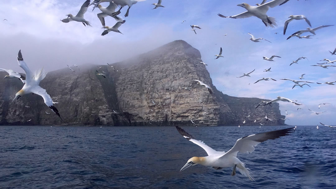
Whilst the raucous cliffs of Noss are spectacular when viewed from above, a boat trip from Lerwick to view the seabirds of Noss is recommended. Gannets crash into the surrounding water, wings folded, spearing fish.
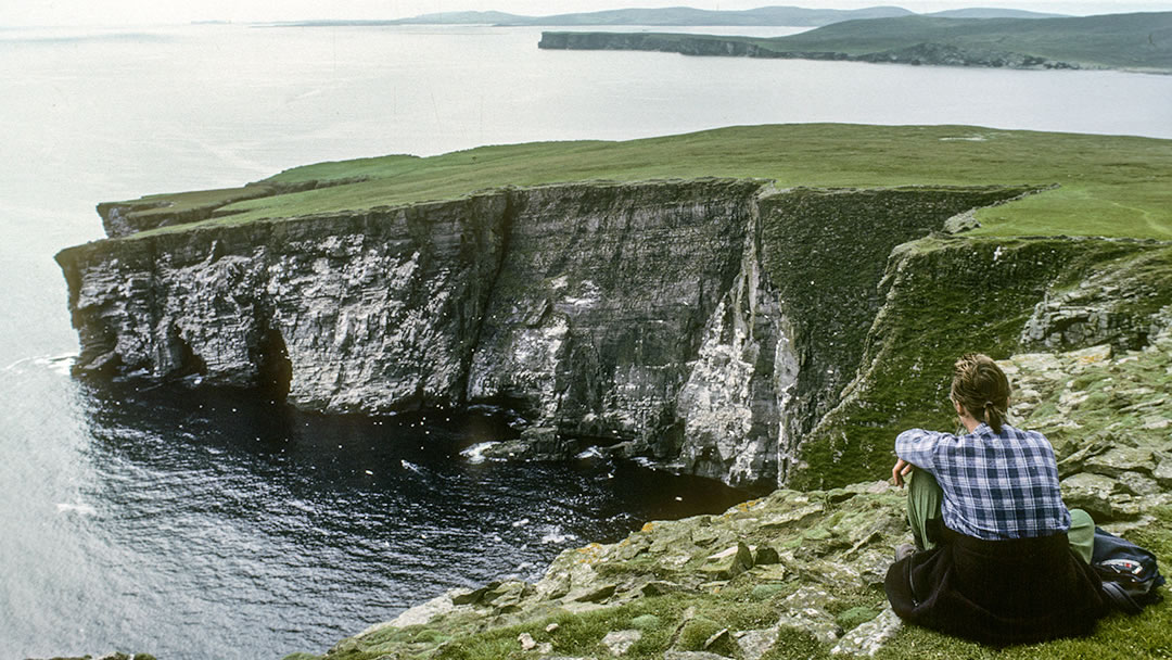
Noss, Cradle Holm and Shetland Ponies
Noss has a fascinating history. There are several prehistoric sites and abandoned crofts. The island was once inhabited by a community of around 50 crofters.
In 1633 they constructed an amazing contraption called the Cradle of Noss. This was a box (large enough to hold a man and a sheep) and cables which connected the cliffs of Noss to a 48m high seastack called the Holm of Noss (pictured above to the left), now known as Cradle Holm. Islanders crossed the 20m gap using the Cradle to collect seabird eggs. They would also transport a dozen sheep over to graze on Cradle Holm. The Cradle of Noss was used for over 200 years before it was deemed unsafe and dismantled.
In 1870 most of the residents of Noss were evicted to make way for sheep farming. The fertile smooth pasture on Noss was ideal for grazing.
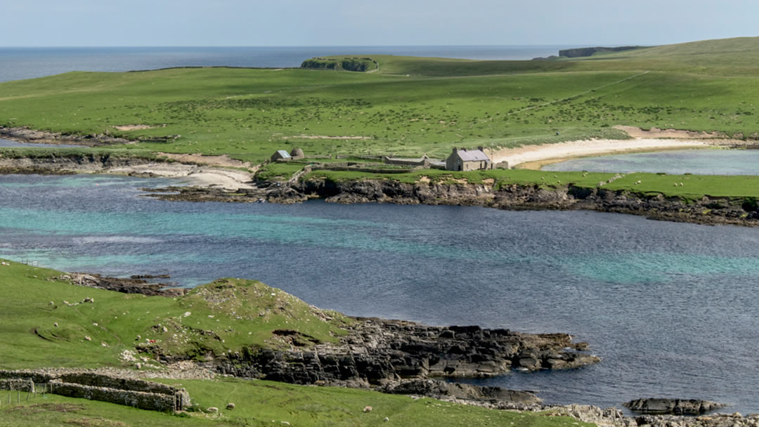
Then in 1873, the Marquis of Londonderry leased Noss for 30 years to breed strong Shetland ponies for his Durham mine. The mares were stabled at the pund on Noss, and the stallions stayed on Bressay. It is said that all the ponies registered with the Shetland Pony Stud Book Society are descended from these animals.
A pund is a stone-built enclosure for animals. The Shetland Pony pund on Noss, with its lean-to shelters and beehive shaped grain drying kiln was restored in 1986. A golden curving beach glitters behind it.
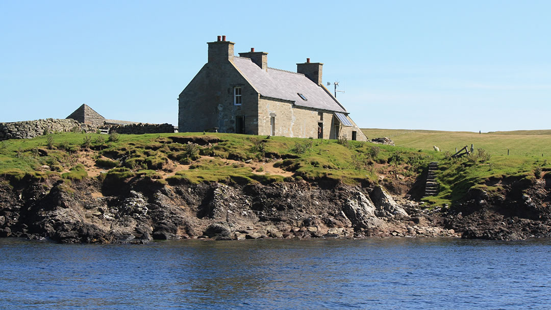
Noss has not been inhabited since 1939 and became a National Nature Reserve in 1955. Now only the summer SNH wardens stay on Noss in the 17th century house located at Gungstie where the ferry lands. There is a toilet within this building and a fascinating information room too.
 By Magnus Dixon
Orkney and Shetland enthusiast, family man, loves walks, likes animals, terrible at sports, dire taste in music, adores audiobooks and films, eats a little too much for his own good.
Pin it!
